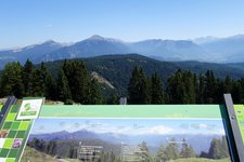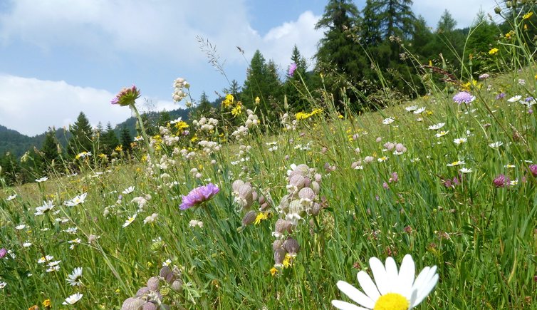
This rather demanding mountain bike round tour leads through the beautiful landscape of the Monte Corno Nature Park
Image gallery: Mountain bike tour to Mt. Corno
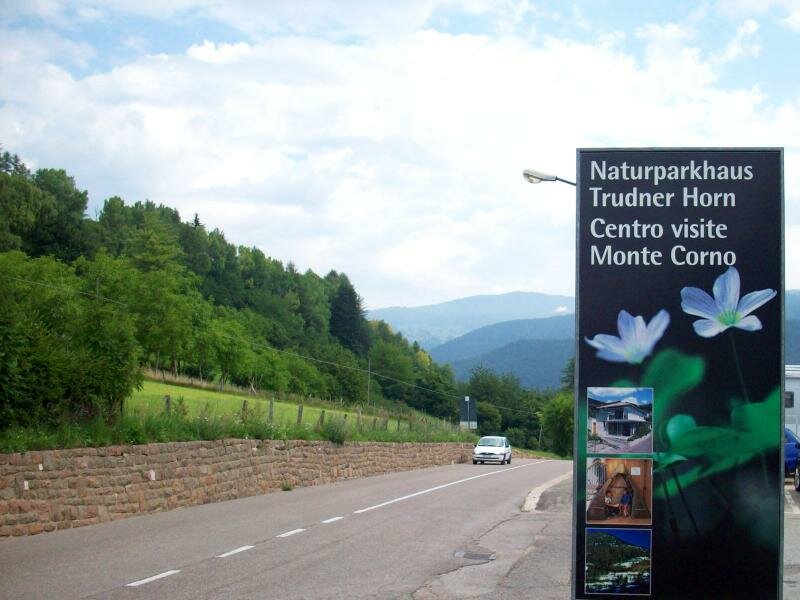
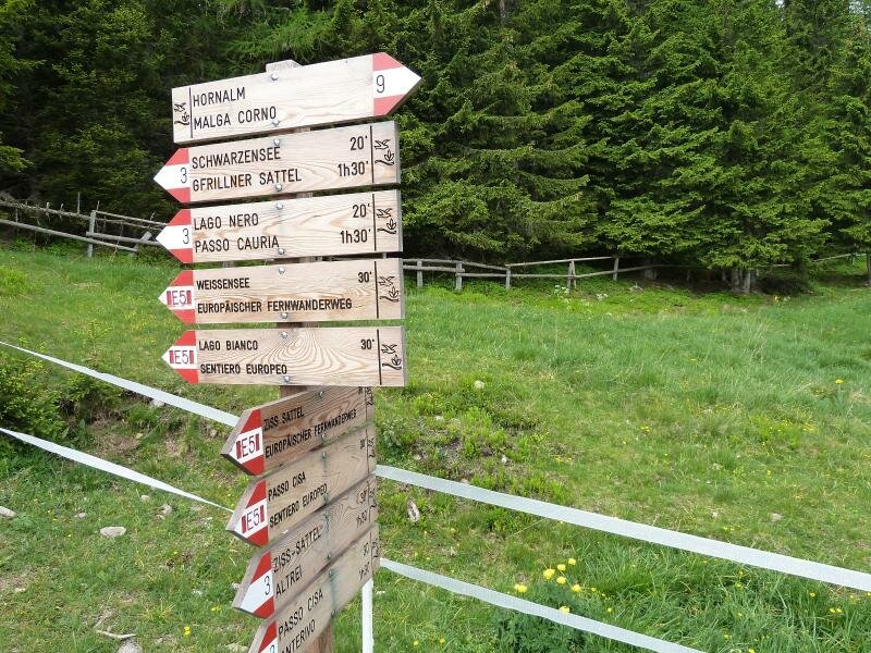
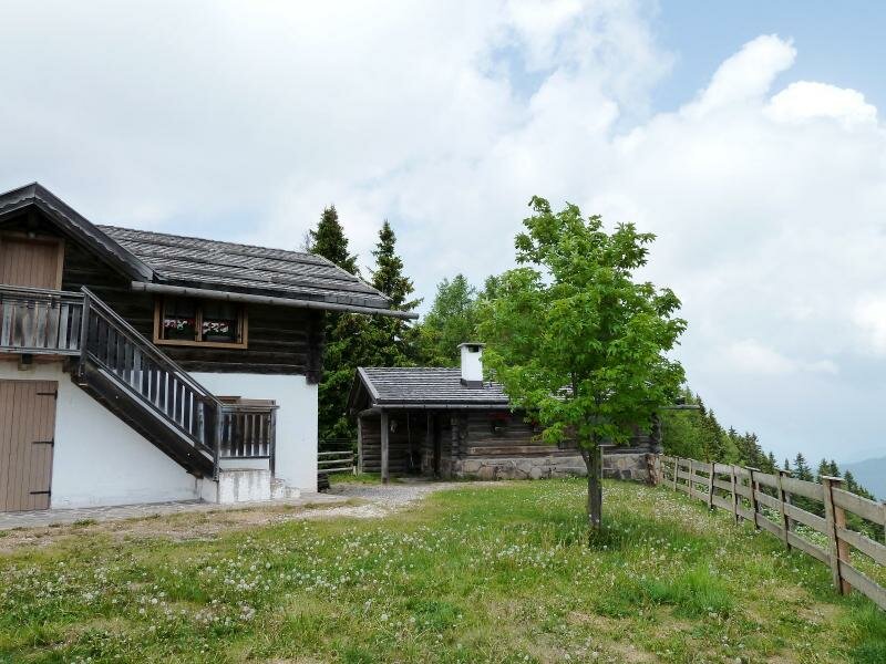
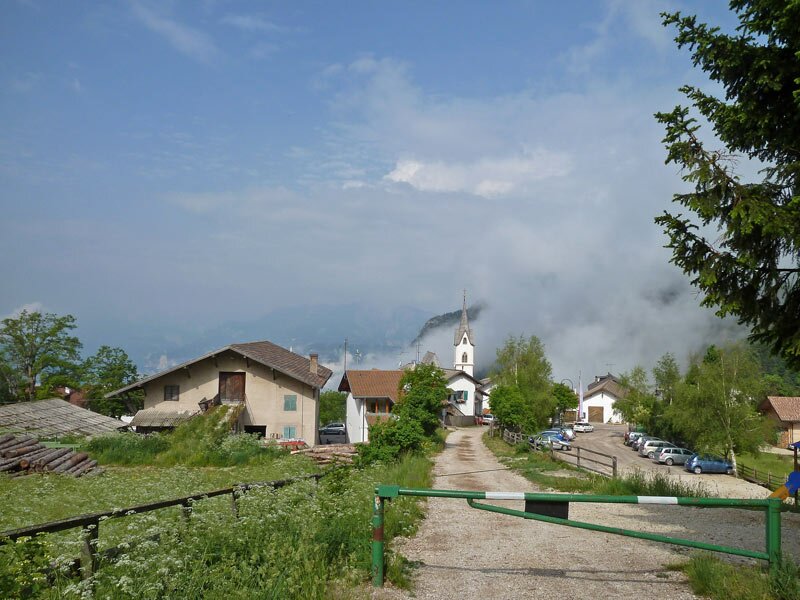
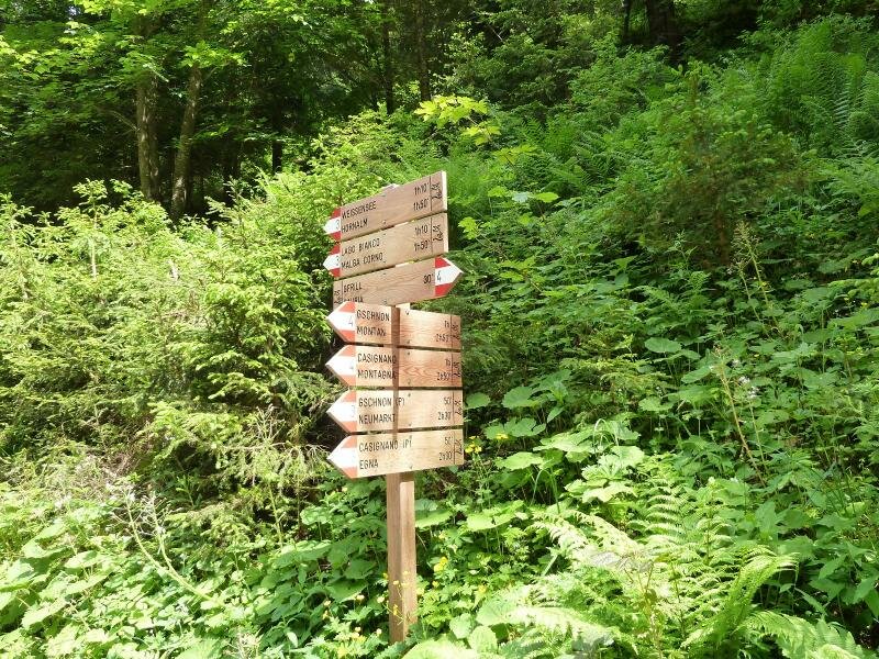
We drive from Caldaro via Ora on the Dolomite Road to Fontanefredde and Trodena (Truden). Our MTB tour to Mt. Corno starts at the parking space near the village entrance at 1,170 m a.s.l. Through the village we cycle on the E5, the European long-distance trail, uphill to the Passo Cisa saddle (Ziss-Sattel) and further on in serpentines to the Malga Corno mountain hut (Horn Alm), where we stop for a rest and a refreshment. This beautiful hut is located at 1,710 m a.s.l., just 70 m beneath the top of Mt. Corno, a peak of the Fiemme Mountains.
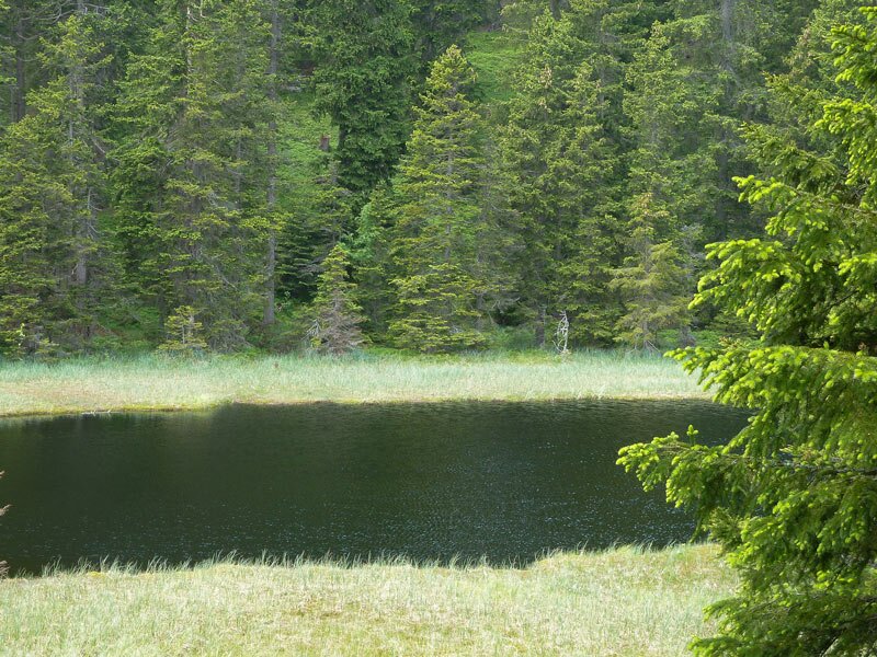
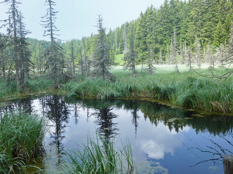
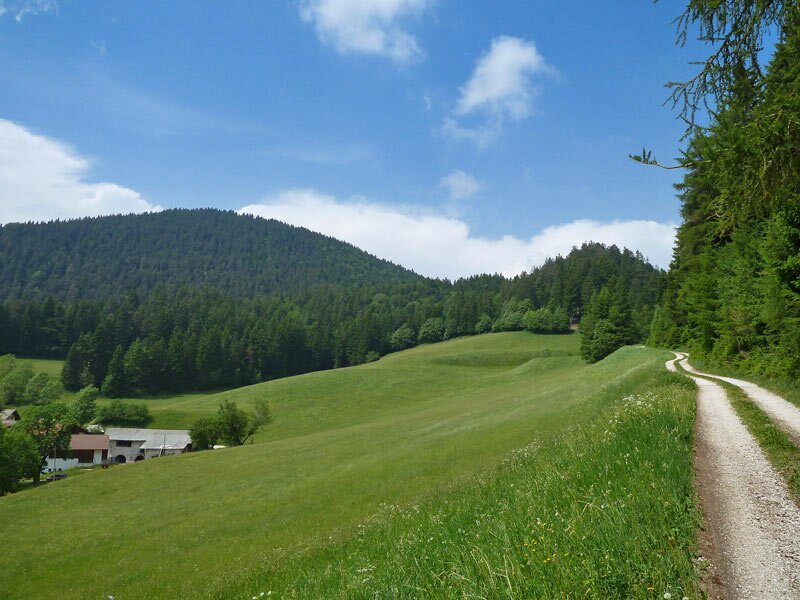
Afterwards the path no. 3 continues less steep, sometimes even flat, to the Lago Nero (Black Lake) and the Lago Bianco (White Lake). The path meets the E5 trail again, which leads us downhill to Cauria (Gfrill). This small mountain hamlet at 1,300 m a.s.l. is idyllically located above the Valle dell'Adige valley. From Cauria we continue our uphill ride overcoming another 150 m of altitude difference in order to reach the Passo Cauria saddle (Gfrillner Sattel).
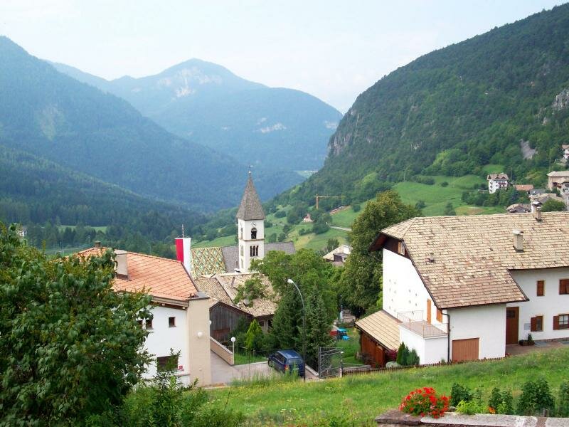
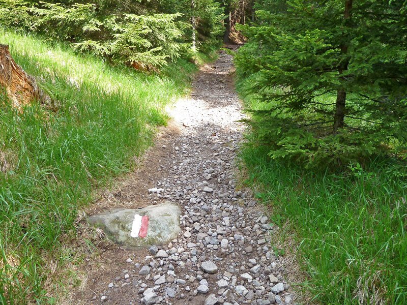
The last section represents the downhill ride on forest paths to Trodena (signpost towards Casignano and then no. 10A, 10 and 6). The untouched landscape and the quiet of nature as well as the beautiful views on the valley make this tour an unforgettable experience!
Author: AT
-
- Starting point:
- Trodena, parking space near the village entrance
-
- Overall time:
- 03:00 h
-
- Total route length:
- 26,1 km
-
- Altitude:
- from 1.021 m to 1.747 m
-
- Altitude difference (uphill | downhill):
- +979 m | -979 m
-
- Signposts:
- E5, no. 3, 10A, 10, 6
-
- Resting points:
- Malga Corno, Fichtenhof
-
- Track surface:
- gravel road (forest path), forest trails, short sections on asphalt roads
-
- Recommended time of year:
- Jan Feb Mar Apr May Jun Jul Aug Sep Oct Nov Dec
-
- Download GPX track:
- Mountain bike tour to Mt. Corno
We highly recommend checking the weather and trail conditions in advance and on site before starting this tour.