This moderate mountain bike tour overcoming 1,350 m of altitude difference takes us from Termeno to the Favogna highland
Image gallery: Mountain bike tour to Favogna
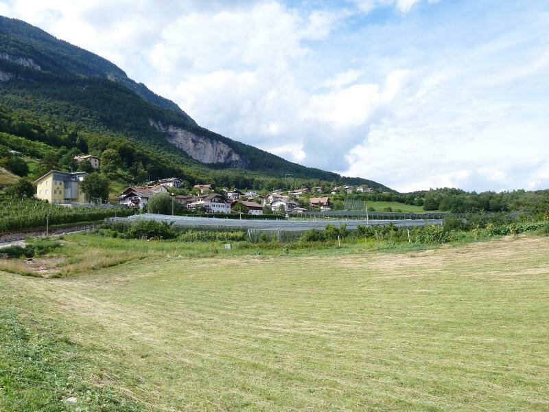
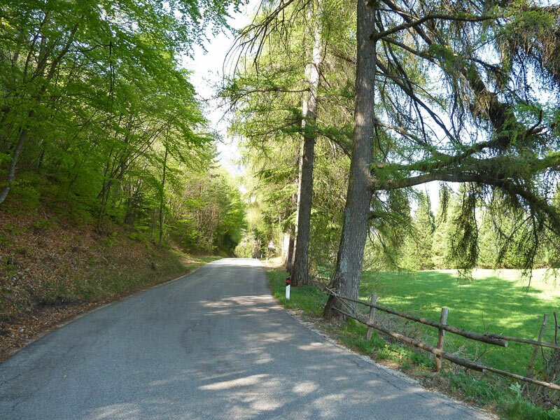
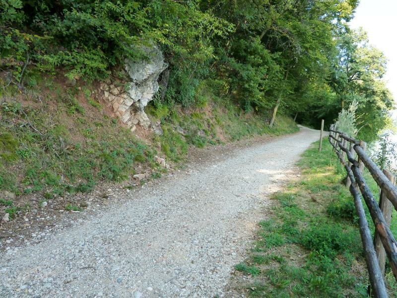
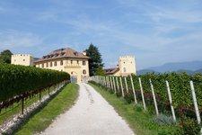
We start our tour at the upper bridge of the Höllenbach brook flowing through Termeno (Tramin) and cycle to Castel Rechtenthal. Passing the majestic building on the left hand side we follow the road uphill towards the Zogglerwiesen meadows and Corona (Graun). The forest paths no. 4 and 9 lead us to the asphalt road towards Corona.
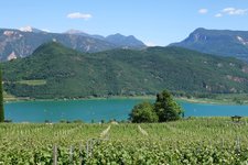
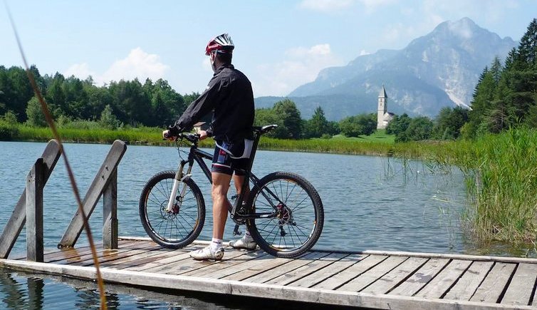
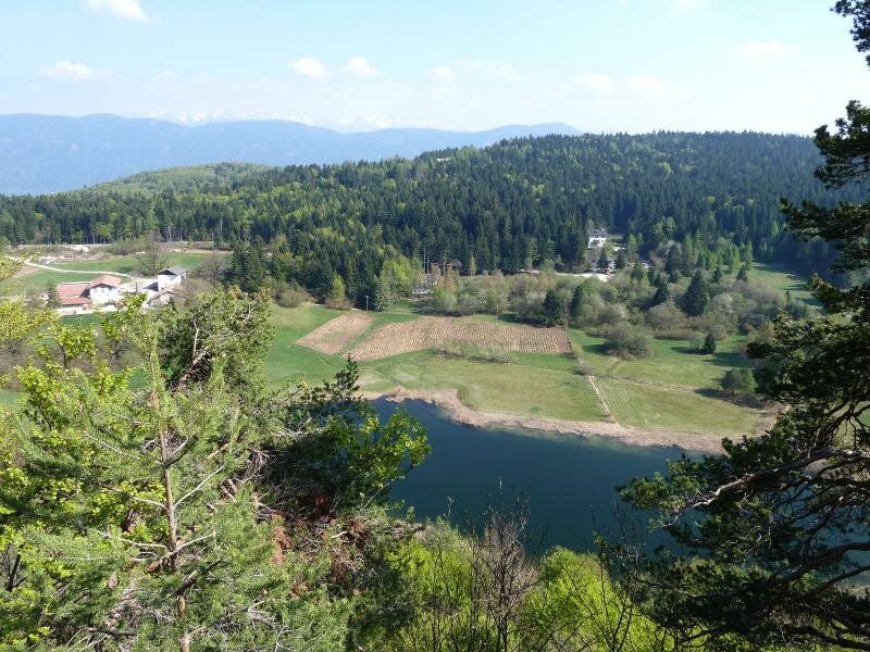
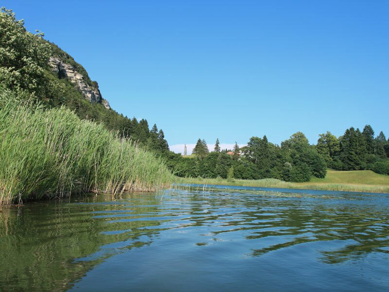
At the junction to Favogna (Fennberg), a component locality of Magrè, we cycle uphill towards Favogna di Sopra and finally reach Lake Favogna. Favogna di Sotto with its lake, a popular bathing lake and protected biotope, is the perfect place for a well-deserved rest.
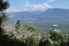
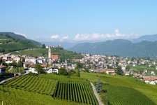
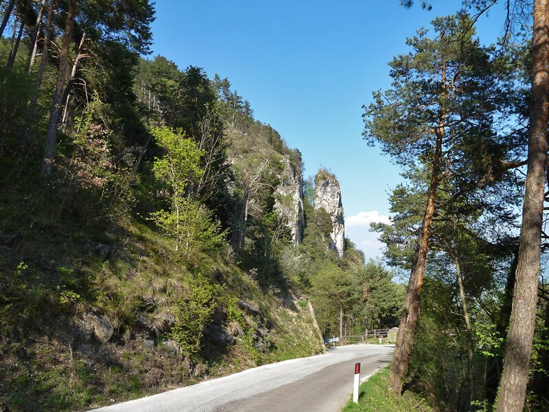
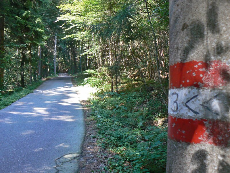
On the way back we follow the signpost no. 3 to 'Madonna della Neve' (Our Lady of the Snows) and enjoy the downhill ride to the village of Magrè. 3 km past the village, the path no. 3A towards Niclara (Entiklar) branches off - from this hamlet we cycle along the South Tyrolean Wine Road to Cortaccia (alternative trail: no. 7). The well-known Kastelaz Path in the village centre proceeds through the forest straight back to Castel Rechtenthal in Termeno, our starting point.
Author: AT
Experienced: April 2010
Last update: 2026
-
- Starting point:
- Termeno, bridge near Castel Rechtenthal
-
- Overall time:
- 04:30 h
-
- Total route length:
- 30,5 km
-
- Altitude:
- from 280 m to 1.204 m
-
- Altitude difference (uphill | downhill):
- +1323 m | -1323 m
-
- Signposts:
- no. 4, 9, 3 (Madonna della Neve), 3A, 7, Kastelazweg
-
- Destination:
- Fennberg
-
- Track surface:
- gravel road (forest road), longer sections on asphalt roads, forest trails
-
- Recommended time of year:
- Jan Feb Mar Apr May Jun Jul Aug Sep Oct Nov Dec
-
- Download GPX track:
- Mountain bike tour to Favogna
We highly recommend checking the weather and trail conditions in advance and on site before starting this tour.