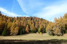
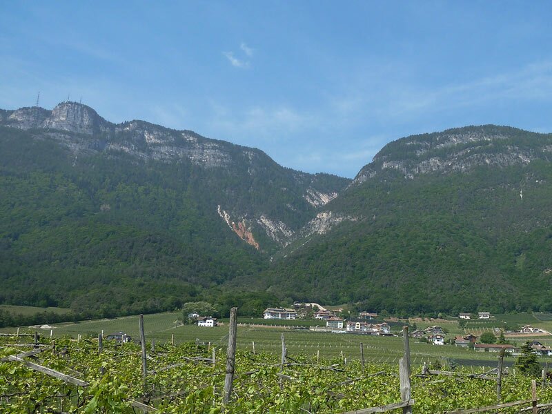
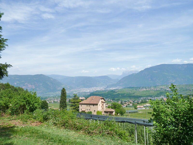
This panoramic tour makes us discover the woods of the Mendola Ridge in Appiano, the neighbouring municipality of Caldaro
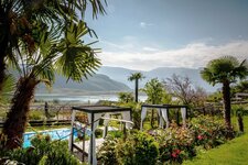
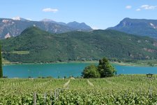
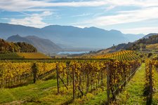
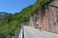
Image gallery: Mountain bike tour above Appiano
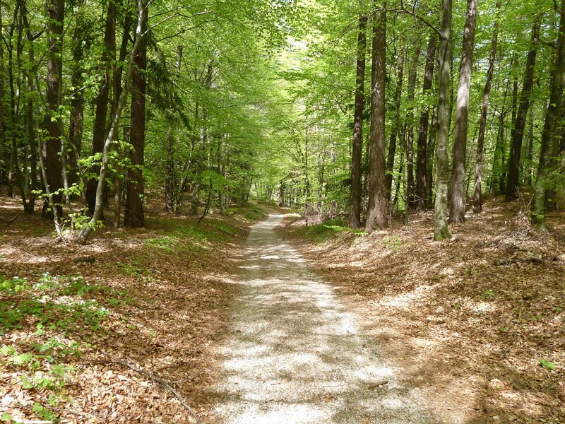
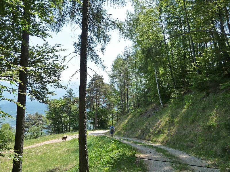
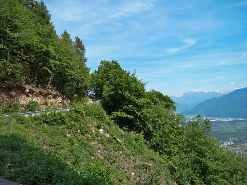
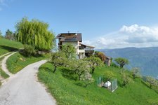
Ideal starting point for this tour is the Steinegger tavern west of San Michele Appiano. We take the forest path no. 7 towards Masaccio (Matschatsch), steadily uphill until an altitude of 900 m a.s.l. At the parking space opposite the Masaccio tavern we follow the Mendola Road for about 600 m until the Masaccio forest road branches off to the right at the first bend.
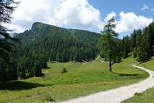
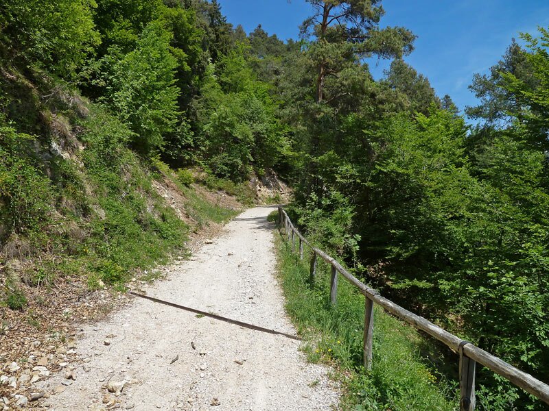
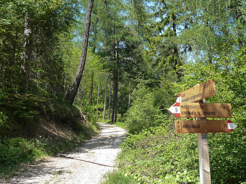
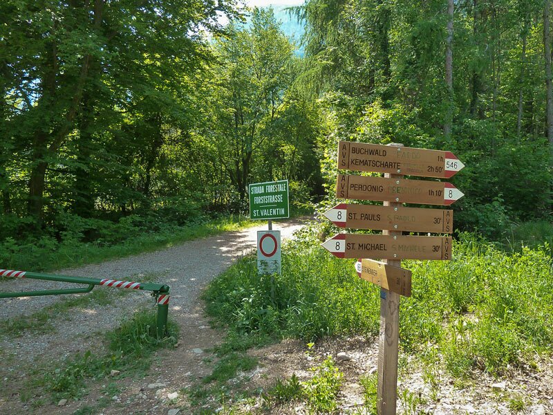
We follow the road for about 600 m and turn right onto the Appiano High Route, the trail no. 9 (Eppaner Höhenweg). The trail leads us to the Forcolana Gap where we continue towards Faedo (Buchwald). The next 3 km are quite comfortable to drive, slightly up and down towards Predonico/Gaido (no. 9). From the forest road, a trail branches off to the right towards the Pichler tavern (no. 10A) which is only recommended to experts (this route is marked in our map).
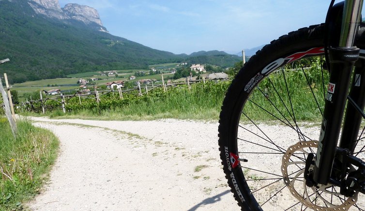
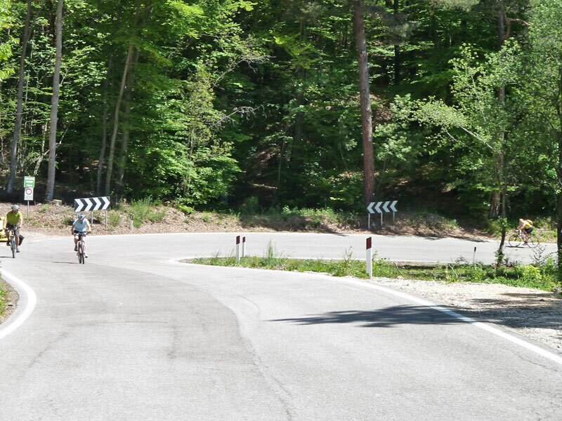
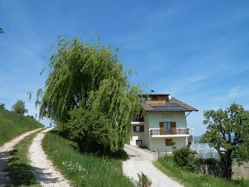
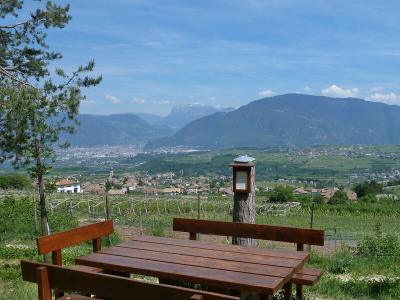
All the others go straight on and follow the marker no. 10 to Predonico and then towards the Faedo tavern which is idyllically located in a meadow, but closed at the time of our tour. Now we take the asphalt road down into the valley. Shortly before the junction with the road to Predonico and Appiano we take the St. Valentine forest path which leads us back to the Steinegger tavern.
Author: AT
Experienced: May 2011
Last update: 2026
-
- Starting point:
- San Michele Appiano, Steinegger tavern
-
- Overall time:
- 03:05 h
-
- Total route length:
- 18,1 km
-
- Altitude:
- from 616 m to 1.189 m
-
- Altitude difference (uphill | downhill):
- +830 m | -830 m
-
- Signposts:
- no. 7, 9 (Appiano High Route), 10A, 10, St. Valentine forest path
-
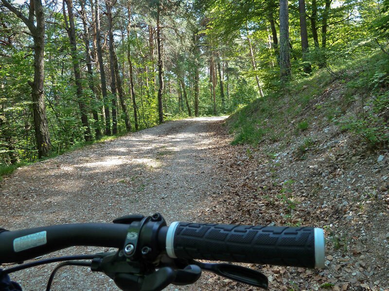
- Track surface:
- gravelled road, single trails, short sections on asphalt
-
- Recommended time of year:
- Jan Feb Mar Apr May Jun Jul Aug Sep Oct Nov Dec
-
- Download GPX track:
- Mountain bike tour above Appiano
We highly recommend checking the weather and trail conditions in advance and on site before starting this tour.