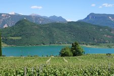
This tour proceeds to the highest peak of the Mendola Ridge, with a splendid view on the mountains of South Tyrol and the Trentino
Image gallery: Mountain bike tour to Mt. Roen

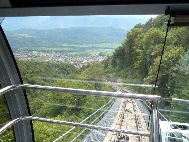


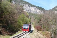
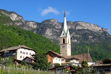
We start in Sant'Antonio (St. Anton), a locality of Caldaro, more precisely at the valley station of the Mendola Funicular. 12 minutes takes us the way up to the 1,350 m high Passo della Mendola mountain pass by this historic funicular, our starting point for this MTB tour. We follow the sign no. 500 which leads us towards south. Passing the Rif. Genzianella and Rif. Mezzavia mountain huts, the forest road leads us upwards to the Malga Romeno mountain hut at 1,770 m a.s.l. Until this point the ride was quite easy, only a few very steep slopes we had to push our bikes.
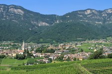
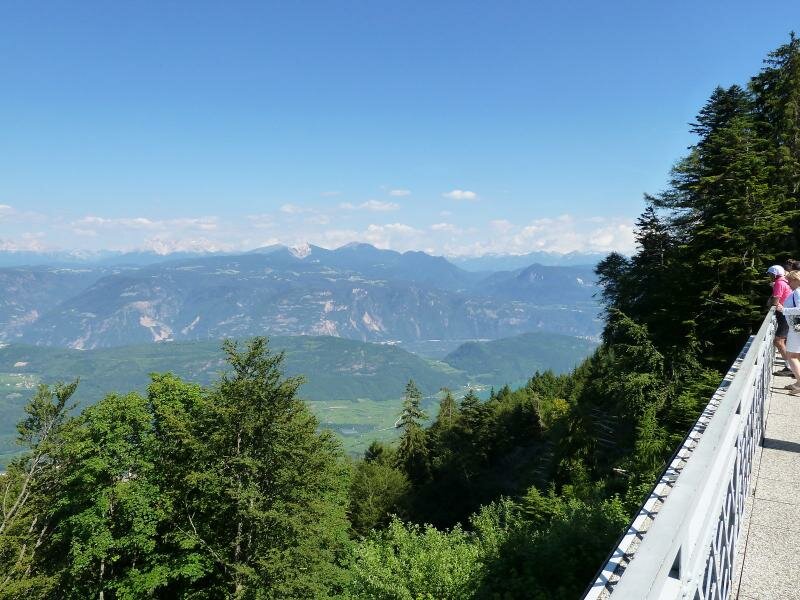
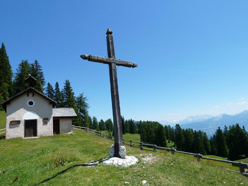
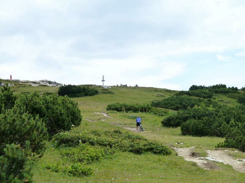
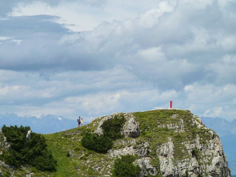
At the Malga Romeno, a charming hut where traditional food is served, we take a rest. Cows graze on deep green meadows and a bit higher up we see a small chapel. Let's go on! We still follow the road no. 500, but now it is very steep and the road surface are crashed stones, so the wheels don't have any footing while driving. The only possibility is to push or to carry our bikes for a length of 40 minutes. At 2,000 m a.s.l. we are rewarded by an amazing view on the villages of the Val di Non valley - here we reach the tree limit. Still a short way and the mountain top is reached!
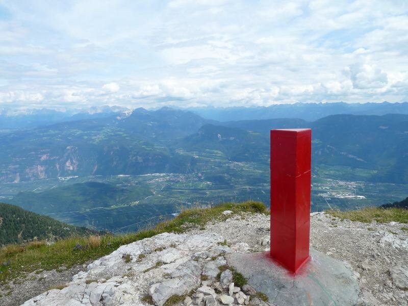
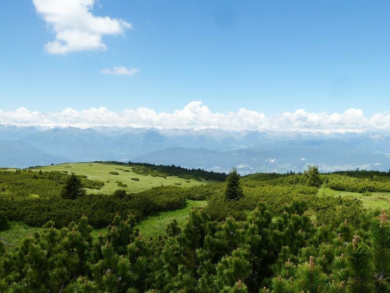
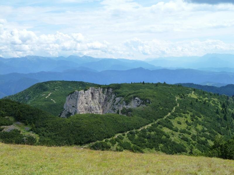
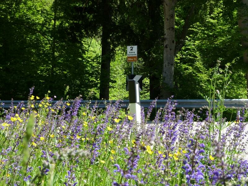
This is the 2,116 m high Mt. Roen which offers a gorgeous view which is not found very often. Bolzano, Appiano, the Dolomites... on the other side we can see the Oetztal Alps, the Ortles Alps and the Adamello Group. The silence here on top is wonderful, we take a rest and enjoy before we ride back the same way we came. There is only one difference: now we enjoy the downhill-ride on the Mendola Road to Caldaro, which is great fun! But please pay attention: quite a lot of car and motorcycle traffic you have to keep in mind. Most of them are going too fast - the road not only has u-turns but also narrow sections and hairpin curves!
N.b. The indicated data concern only the route from Passo Mendola to Mount Roen and back.
Author: AT
Experienced: July 2011
Last update: 2026
-
- Starting point:
- Sant'Antonio, valley station of the Mendola Funicular
-
- Overall time:
- 03:00 h
-
- Total route length:
- 16,5 km
-
- Altitude:
- from 1.364 m to 2.112 m
-
- Altitude difference (uphill | downhill):
- +770 m | -770 m
-
- Signposts:
- no. 500, Malga Romeno, Roen
-
- Destination:
- Roen (summit)
-
- Track surface:
- gravel road (forest road), asphalt road (Mendola Road)
-
- Recommended time of year:
- Jan Feb Mar Apr May Jun Jul Aug Sep Oct Nov Dec
-
- Download GPX track:
- Mountain bike tour to Mt. Roen
We highly recommend checking the weather and trail conditions in advance and on site before starting this tour.