Exploring the slopes of Mt. Mendola by overcoming 33 km and 1,000 m of altitude difference on forest paths and mountain roads
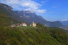
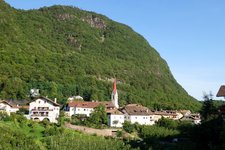
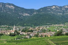
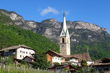
Image gallery: Mountain bike tour above Caldaro
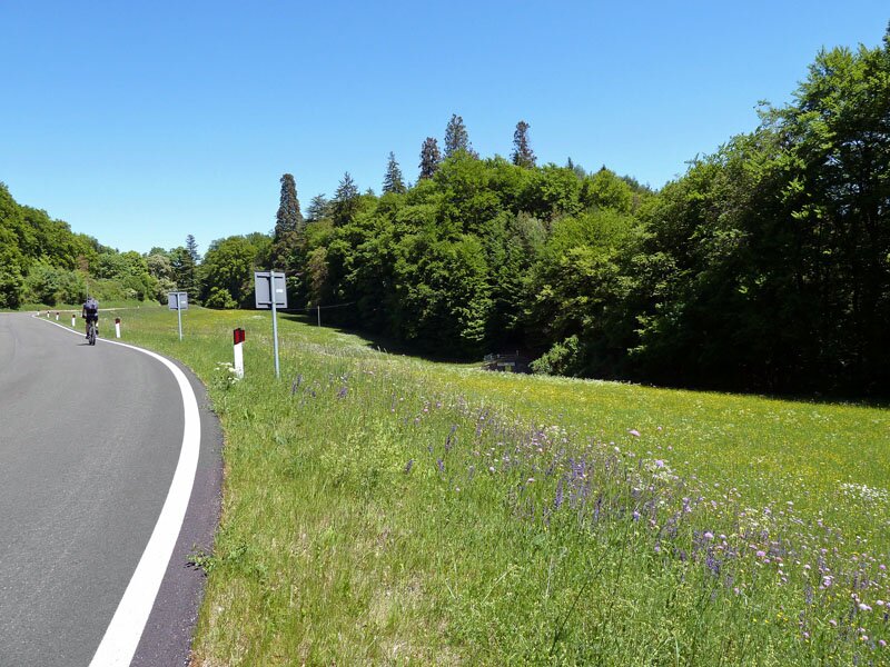
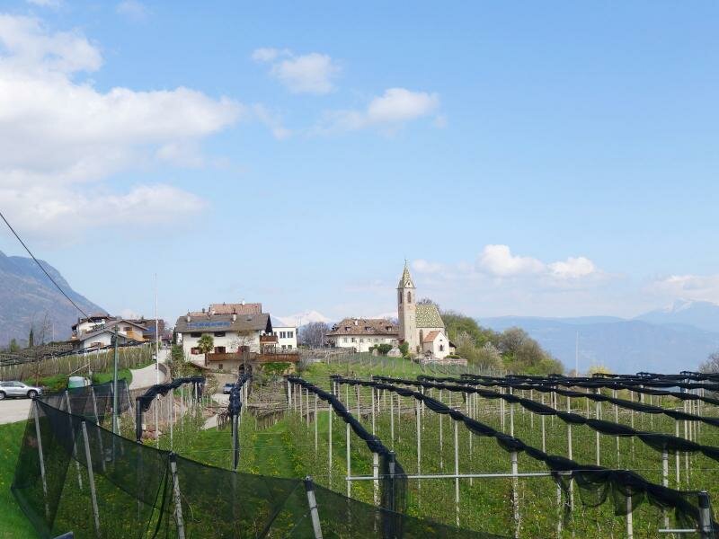
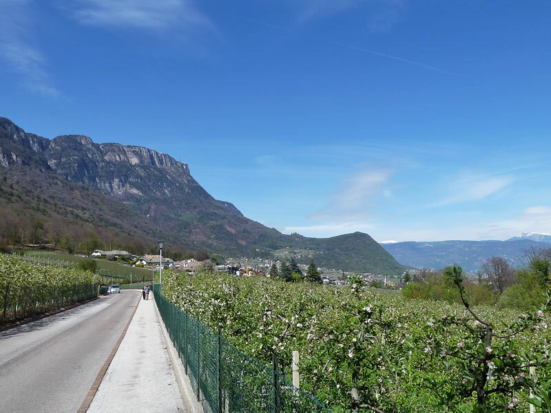
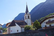
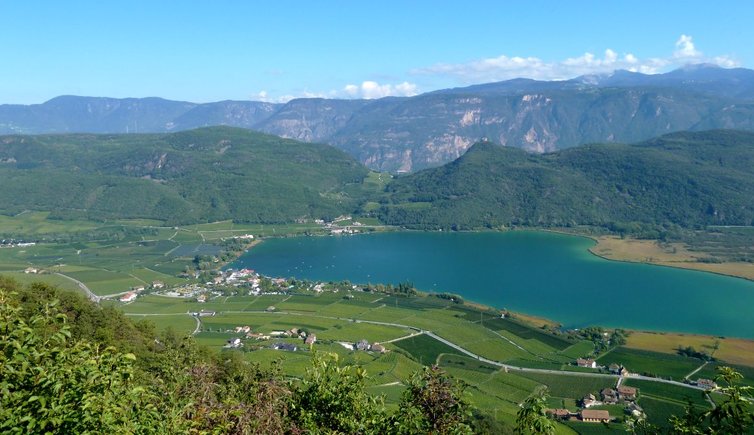
This moderate tour runs mostly parallel to the Caldaro High Route (Kalterer Höhenweg). Due to the cycling time of 4.5 hours we recommend to plan a whole-day tour so you can enjoy some stops and the beautiful panoramic views. From the Paterbühel hill in Caldaro we turn into the Via Klavenz road and cycle on the path no. 15 to Pianizza di Sopra (Oberplanitzing) and further on to the junction with the Mendola Road. Following this asphalt road downhill for 300 m we branch off to the Via Andreas Hofer road on the left. It leads us through the Ganda di Sopra settlement.
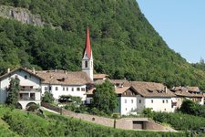
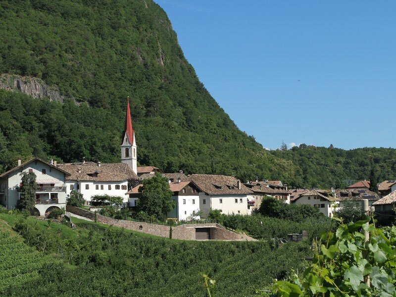
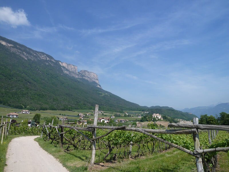
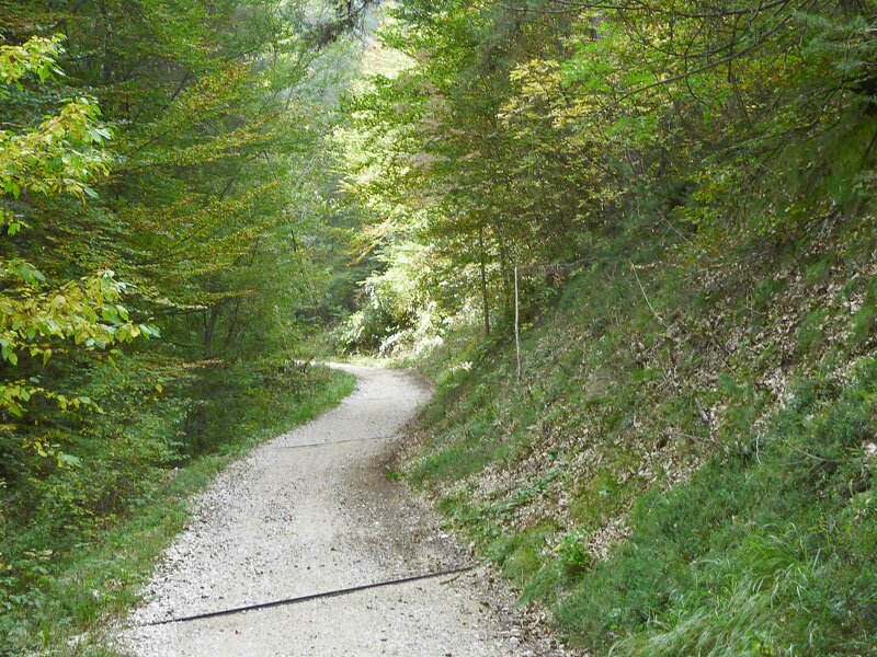
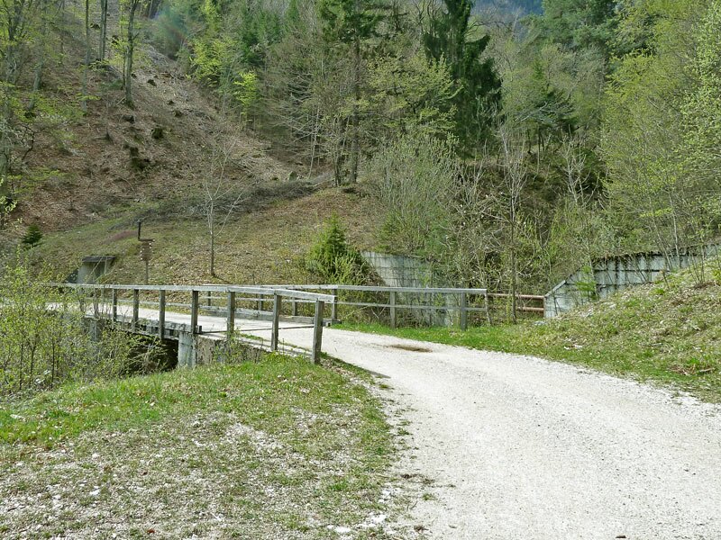
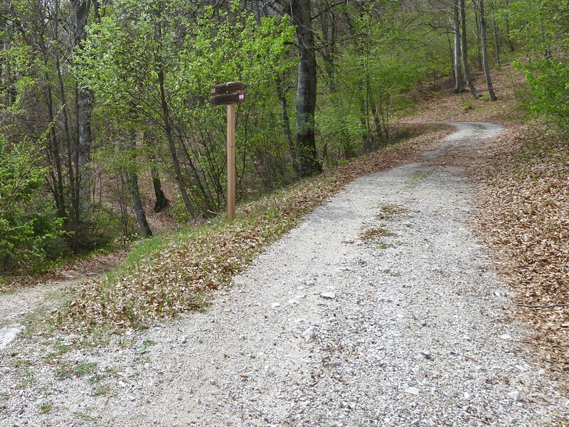
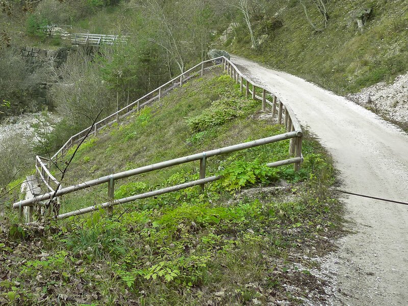
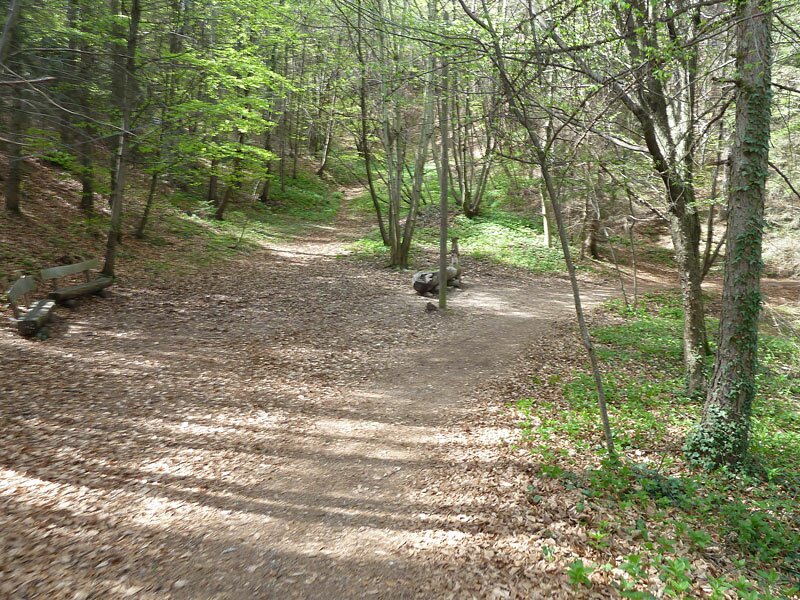
We choose the Via Badl road on the left and then the Via Piganò road to Castel Palù, and cycle through the vineyards to the Steinegger tavern. The MTB tour itself starts right here: the forest path no. 7 snakes its way through the forest uphill to Masaccio where a parking space is located right beside the Mendola Road. 150 m down the asphalt road we enter the forest again and follow the Boos forest path. After another 3 km it meets the trail no. 521 known as 'Telefonsteig'.
Slightly below we turn into the path no. 9 resp. Caldaro High Route and cycle towards S. Antonio and the Ziegenstadel, a forester's deposit. Sometimes the parallel forest path is better suited for the MTB ride. After 5 km we reach the Ziegelstadel and continue for another 3 km (signpost 'Gummererhof'). The downhill ride takes us on the Zoggler forest trail and later on on a partly asphalted road to Castelvecchio (Altenburg). From this hamlet the forest path no. 11 leads us to the Caldaro sports ground. Via the hamlet of Sant'Antonio we turn back to our starting point.
Author: AT
Experienced: April 2012
Last update: 2026
-
- Starting point:
- Caldaro, Paterbühel
-
- Overall time:
- 04:00 h
-
- Total route length:
- 30,5 km
-
- Altitude:
- from 426 m to 989 m
-
- Altitude difference (uphill | downhill):
- +961 m | -961 m
-
- Signposts:
- no. 15, 7, 521 (Telefonsteig), 9 (Caldaro High Route), 11
-
- Track surface:
- gravel path (forest road), forest trails, asphalt roads
-
- Recommended time of year:
- Jan Feb Mar Apr May Jun Jul Aug Sep Oct Nov Dec
-
- Download GPX track:
- Mountain bike tour above Caldaro
We highly recommend checking the weather and trail conditions in advance and on site before starting this tour.