This spring tour leads us from Matschatsch along the Appiano High Route to Faedo and back
Image gallery: Hike on the Appiano High Route
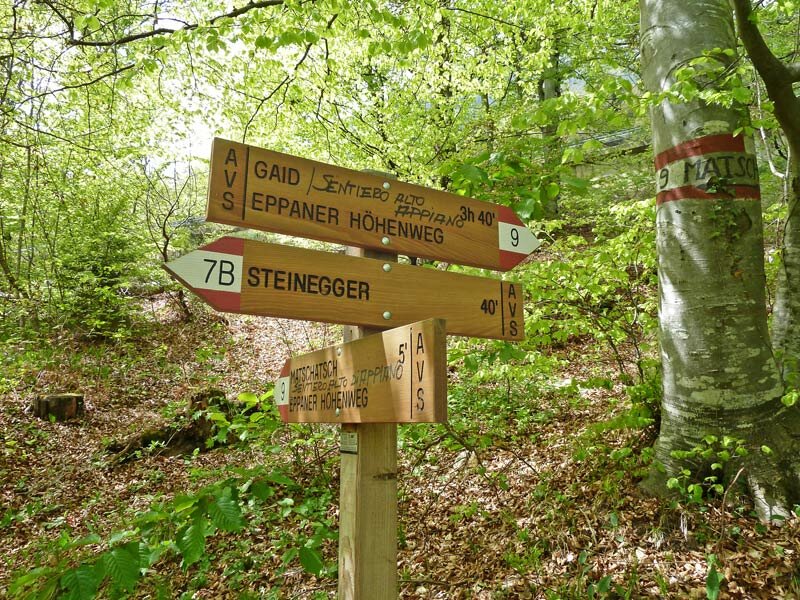
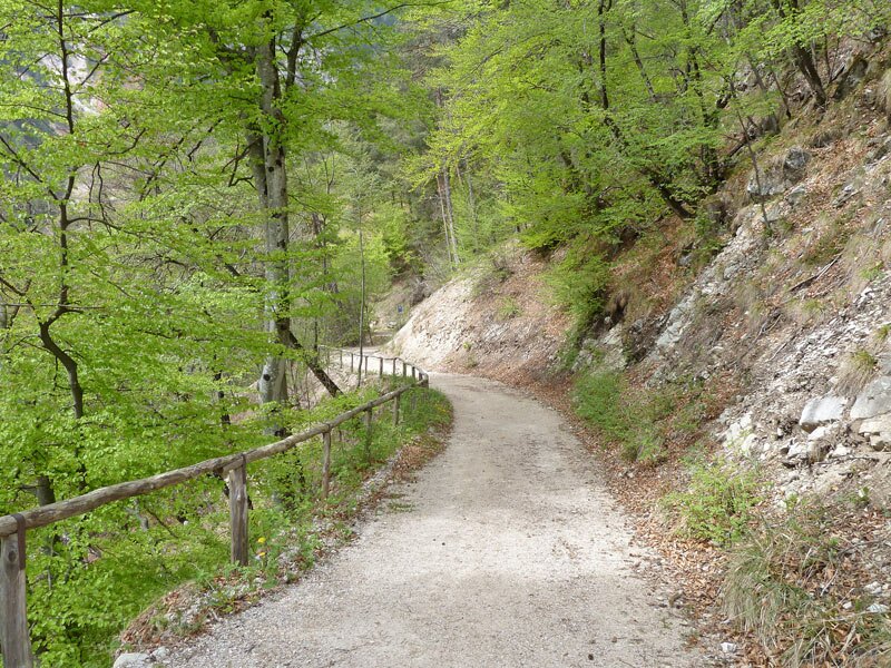
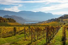
North of Caldaro, in an area that already belongs to the municipality of Appiano (Eppan), there is the Appiano High Route (Eppaner Höhenweg, in German), following the Mendola Ridge. Starting from Castel Masaccio at 887 m a.s.l., more precisely from the parking space along the road to the Passo della Mendola mountain pass, we have almost reached the highest point.
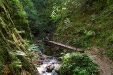
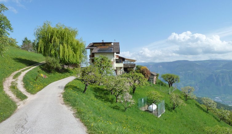
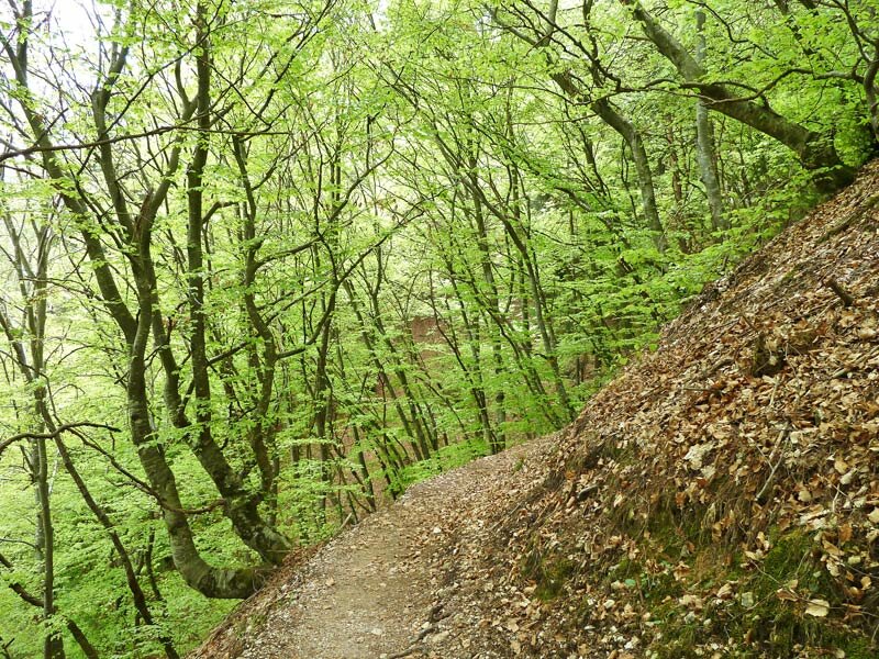
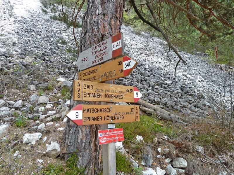
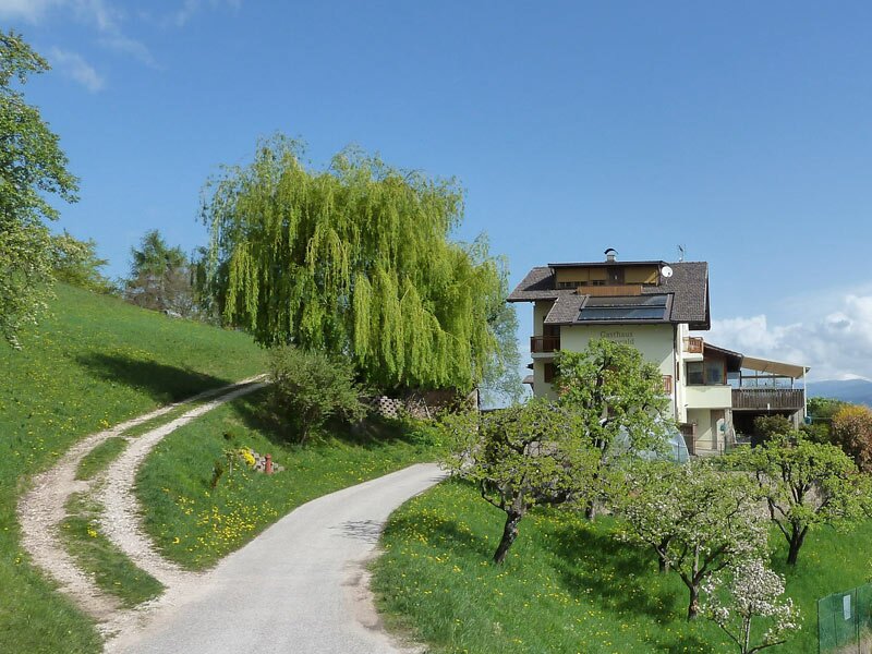
The Faedo (or Buchwald) Tavern is located at 954 m a.s.l. - the trail is not difficult. This hike takes us towards north on the trail no. 9, first to the Forcolana Gorge (Furglauer Schlucht), where it crosses the trail to Mt. Penegal. Then we proceed on the forest trail, past the water reservoir, across the mixed forest.
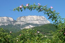
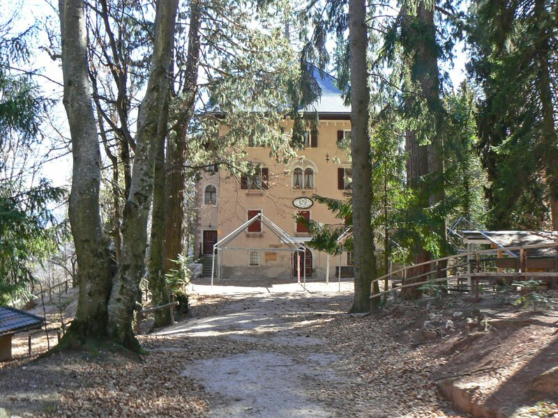
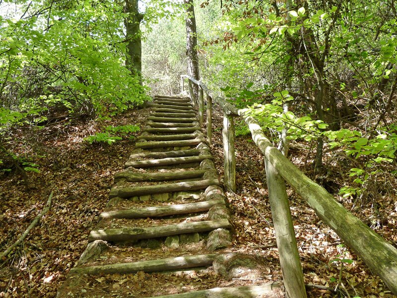
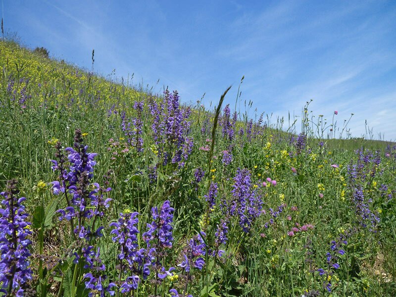
The last section leads downhill, across steps, and continues to the former Buchwald tavern (unfortunately permanently closed), located in the middle of flower meadows at the foot of Mt. Macaion. Absolutely astonishing is the view on Bolzano, South Tyrol's pronvincial capital, and Mt. Sciliar, South Tyrol's landmark.
Author: AT
-
- Starting point:
- Parking space near Castel Masaccio along the Mendola Road
-
- Overall time:
- 03:20 h
-
- Total route length:
- 10,5 km
-
- Altitude:
- from 891 m to 1.035 m
-
- Altitude difference:
- +345 m | -345 m
-
- Signposts:
- no. 9, Eppaner Höhenweg
-
- Destination:
- Buchwald
-
- Recommended time of year:
- Jan Feb Mar Apr May Jun Jul Aug Sep Oct Nov Dec
-
- Download GPX track:
- Hike on the Appiano High Route
If you want to do this hike, we suggest you to check the weather and trail conditions in advance and on site before setting out.