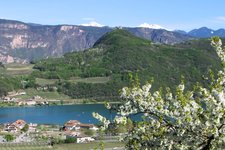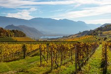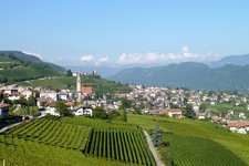
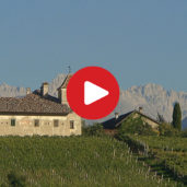
A pleasant round trail leads from Termeno through a landscape of gentle hills to the southern part of the South Tyrolean Wine Road
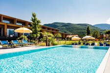
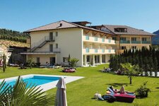
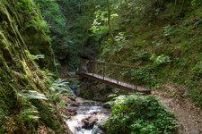
Image gallery: Walk on the Cholera Path


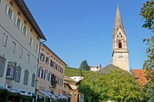
From the main square of Termeno (Tramin) we walk towards south - the Via J.v. Payer and the Via J.v. Zallinger roads lead us out of the village towards the Wine Road. Crossing it we follow for some metres the road towards Egna (Neumarkt) and turn off at the first junction on the left side (signpost "CH", Cholera Path).
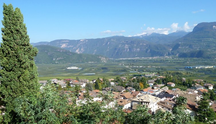
After 30 metres we branch off to the left again and follow the field path no. 15 towards north. Above us there are some beautiful vineyards, beneath us - in the valley basin - we see the characteristic fruit orchards. On the last section we reach the Termeno sports ground (outdoor pool, tennis courts, football field).
Right before it we branch off on the left and follow the course of the brook up to the Wine Road. We cross it and continue along the stream to a small wooden bridge. At this point it's not far anymore to the village centre of Termeno, our starting point.
-
- Starting point:
- Termeno, village centre
-
- Overall time:
- 01:00 h
-
- Total route length:
- 3,6 km
-
- Altitude:
- from 216 m to 288 m
-
- Altitude difference (uphill | downhill):
- +74 m | -74 m
-
- Signposts:
- CH
-
- Recommended time of year:
- Jan Feb Mar Apr May Jun Jul Aug Sep Oct Nov Dec
-
- Download GPX track:
- Walk on the Cholera Path