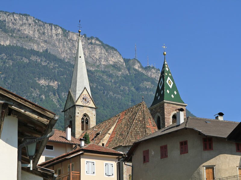
Our hint for a nice hike in spring leads along the famous Caldaro High Route from Sant’Antonio near Caldaro to Castelvecchio
Image gallery: Hike on the Caldaro High Route
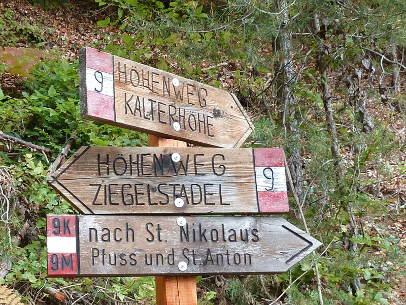
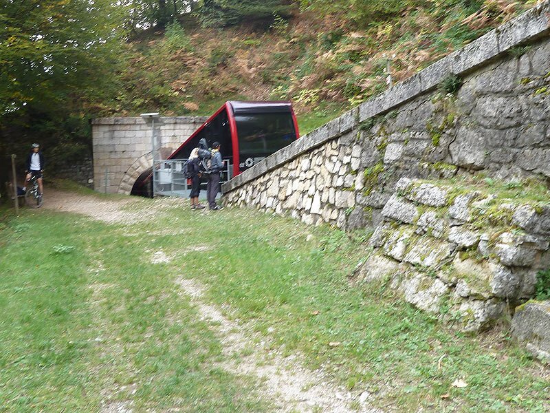
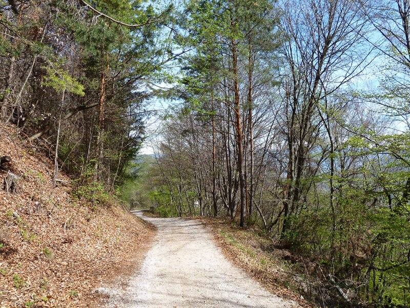
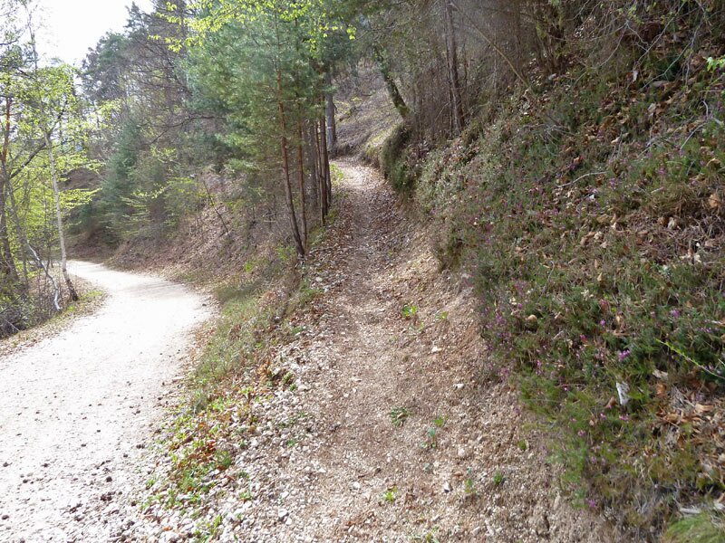
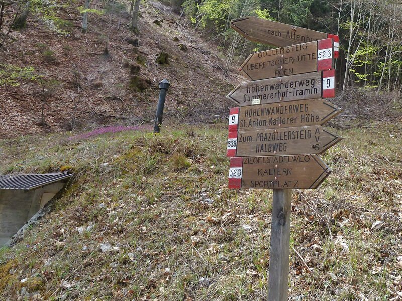
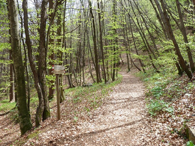
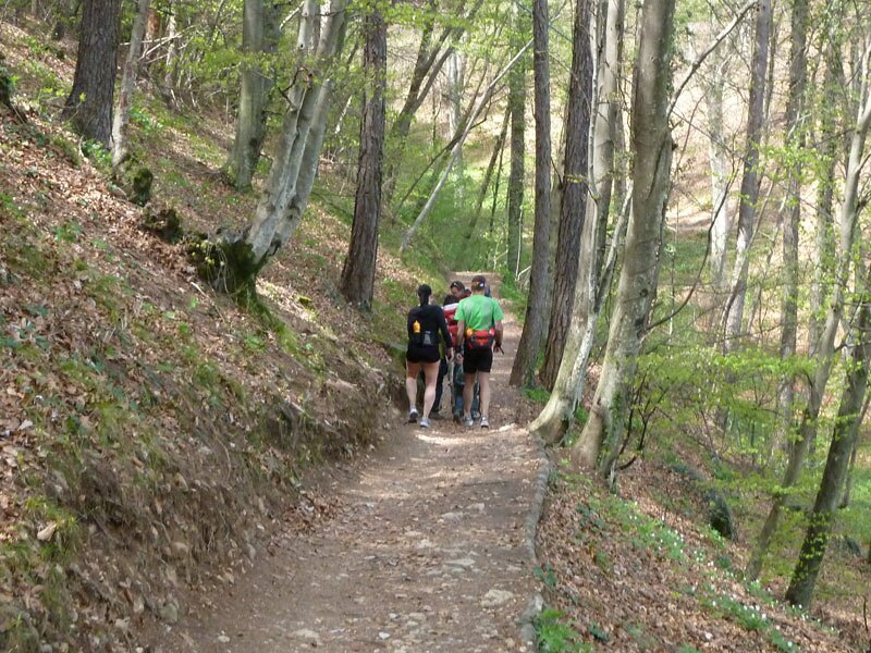
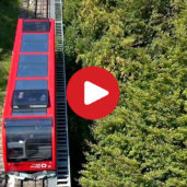
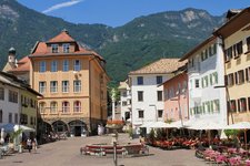
Starting in Sant'Antonio in Caldaro, more precisely at the valley station of the Mendola Funicular, we follow the trail no. 95 which leads us to San Nicolò and to the marker M (Mendelsteig). A quite demanding ascent takes us up to the altitude of the Caldaro High Route no. 9 (Kalterer Höhenweg, in German). After the intermediate station of the funicular, it turns into a wide forest path.
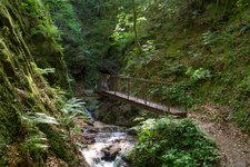
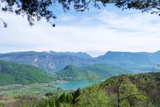
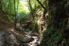
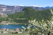
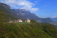
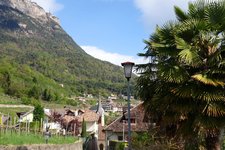
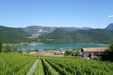
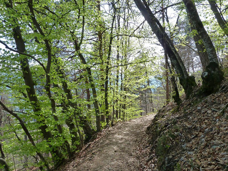
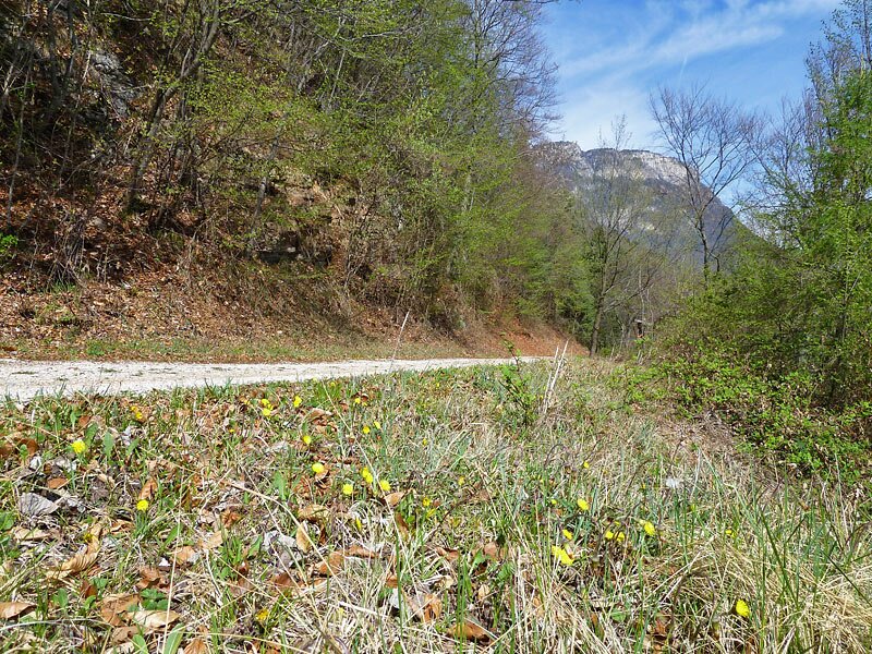
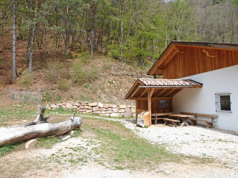
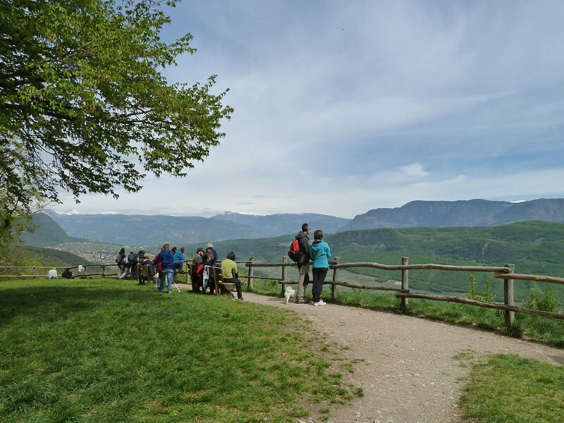
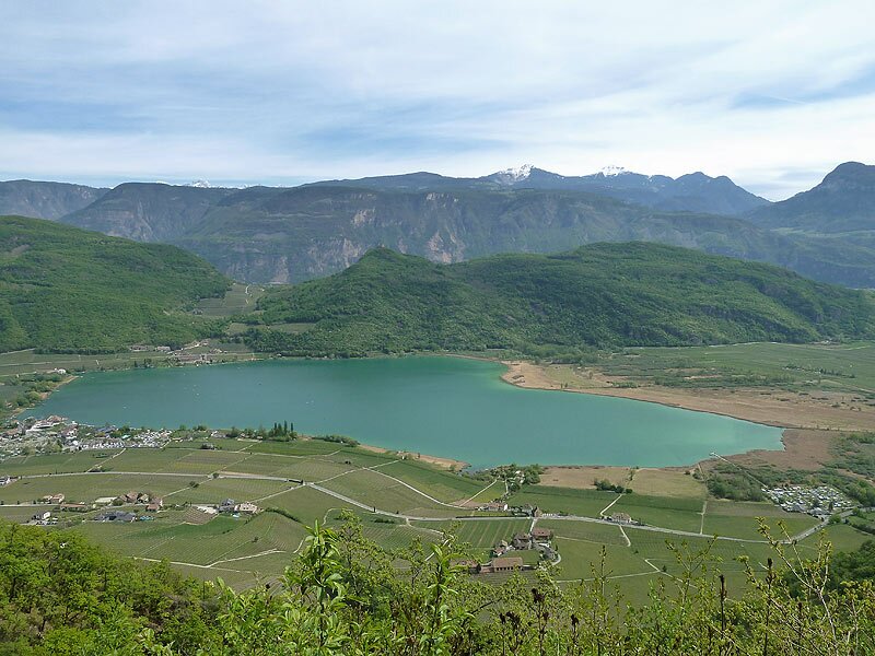
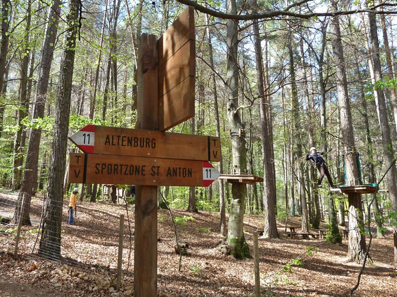
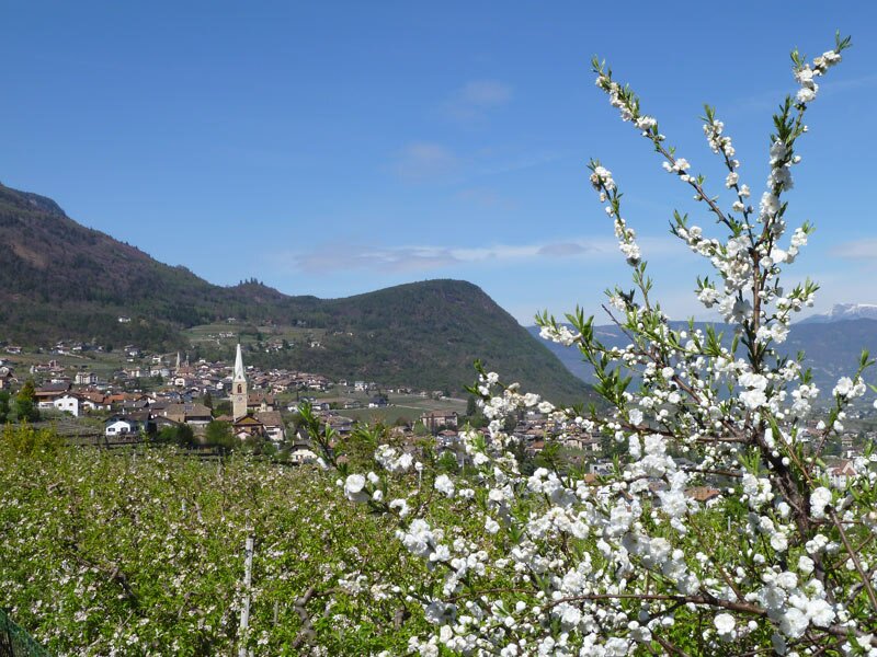
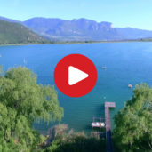
Occasionally the forest clears up and we can enjoy gorgeous views on the area of Caldaro: Lake Caldaro, the Bassa Atesina area and the peaks of the Dolomites until Mt. Corno Bianco. Finally the path leads into a narrow valley to the 'Ziegelstadel', a forest station. It crosses a brook and immediately after the bridge the path no. 9 f to Castelvecchio branches off to the left.
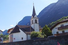
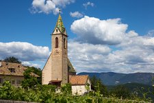
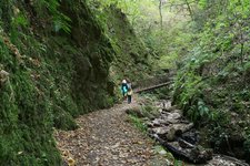
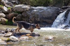
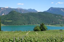
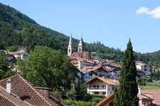
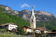
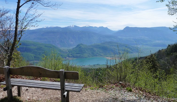
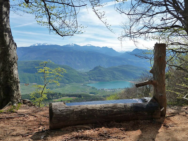
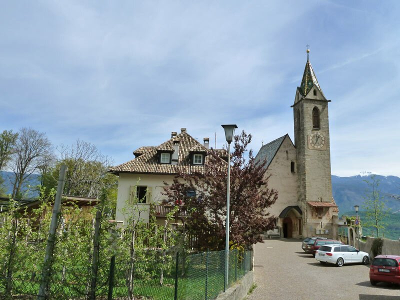
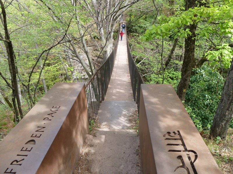
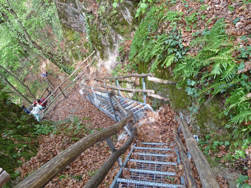
Behind the church of the village, the Castelvecchio Viewpoint is located which offers a stunning view on Lake Caldaro. We continue on the Peace Trail and walk through the wild Rastenbach Gorge. After the junction with the connecting road Caldaro - Castelvecchio (Altenburg) we reach the path no. 11. It takes us back to the sports ground and further on to Sant'Antonio (St. Anton), where our circular walk ends. By the way: the first section (ascent) can be avoided by taking the Mendola Funicular until the intermediate station.
Author: AT
-
- Starting point:
- Sant'Antonio, valley station of the Mendola Funicular
-
- Overall time:
- 03:20 h
-
- Total route length:
- 13,2 km
-
- Altitude:
- from 507 m to 868 m
-
- Altitude difference (uphill | downhill):
- +440 m | -440 m
-
- Signposts:
- no. 95, M (33), 9, 9f, Peace Trail (Friedensweg), 13, 11
-
- Resting points:
- Sonnenegg Hof, Restaurant Altenburg
-
- Recommended time of year:
- Jan Feb Mar Apr May Jun Jul Aug Sep Oct Nov Dec
-
- Download GPX track:
- Hike on the Caldaro High Route
If you want to undertake this hike, we recommend checking the weather and trail conditions in advance and on site before starting this hike!